Where are we now?
The page name is a little misleading but it was relevant when we were travelling.
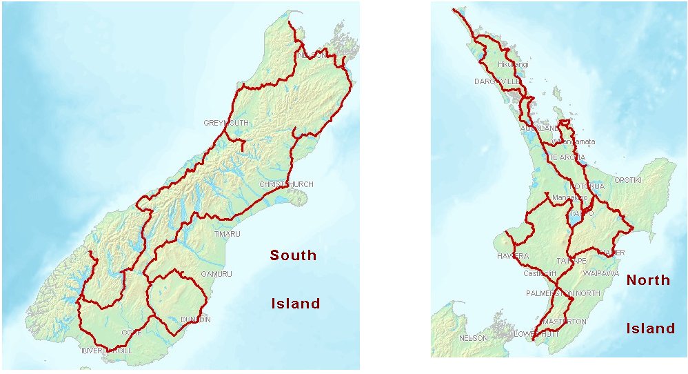
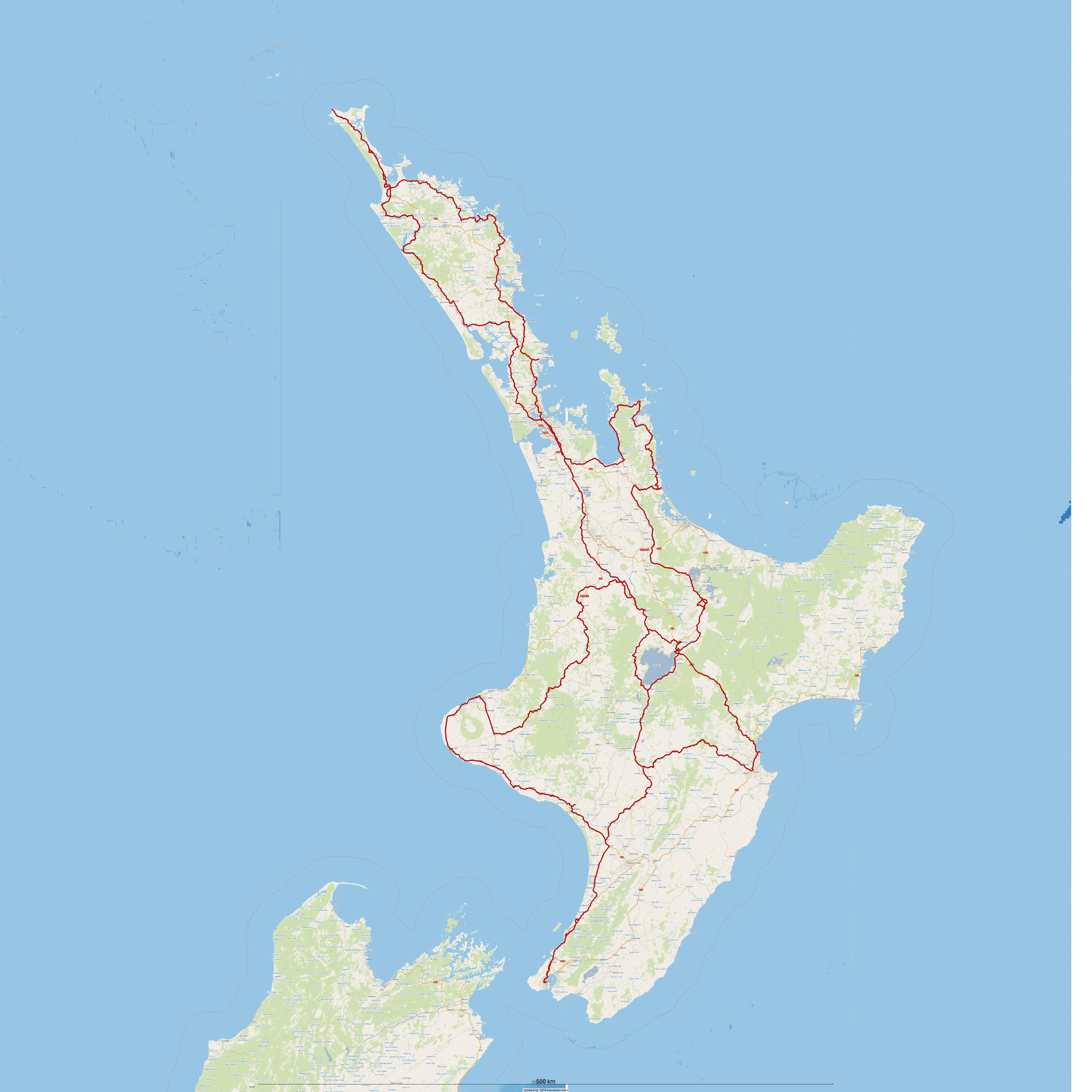
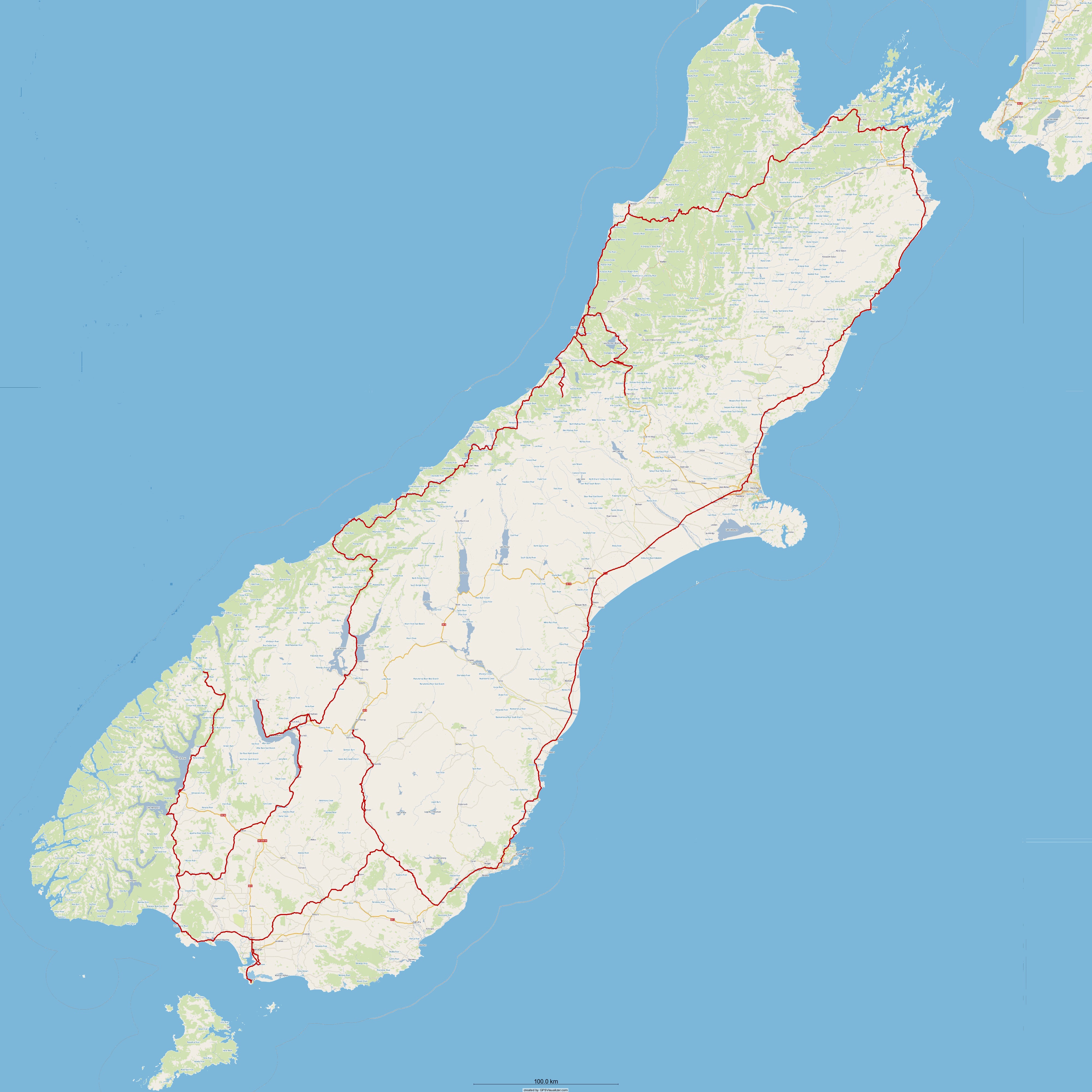
Having completed this adventure the two below images represent the routes that we actually rode on the north and south islands of New Zealand. These routes were recorded by our tracking/locator devices that we carried throughout the journey.
If you compare the images at the top of the page (original planned route) to the routes we eventually rode, you will notice that there are some differences, but not that many.
The below images can be opened in another window, and can be magnified to get a better view of the places visited and travelled through.
| ......previous page | next page...... |